LiDAR Drone Surveys with high accuracy terrain mapping
High-resolution LiDAR surveys for terrain land analysis. Reveal features hidden by vegetation
Using the excellent DJI Matrice 350 with RTK positioning and the latest Zenmuse L2 LiDAR payload, we can offer drone LiDAR surveys for planners, land consultants and archaeologists.
Highly accurate measurements can be achieved using the L2 alongside RTK positioinng corrections and establishing ground control points across the survey site.
What is LiDAR?
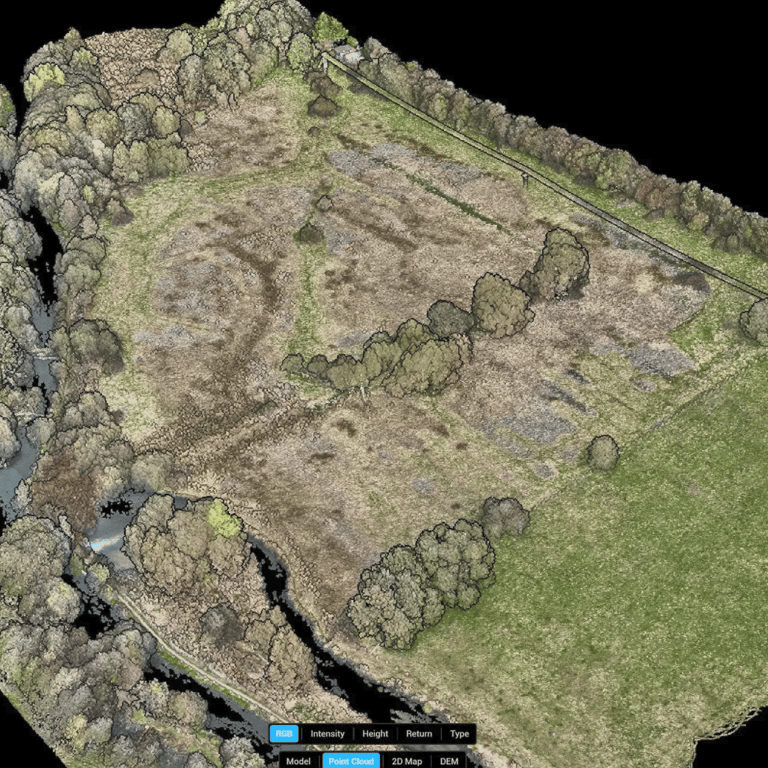
LiDAR, which stands for Light Detection and Ranging,is a remote sensing method that uses light in the form of a pulsed laser to measure ranges (variable distances) to the Earth. These light pulses—combined with other data recorded by the UAV system — generate precise, three-dimensional information about the shape of the Earth and its surface characteristics.
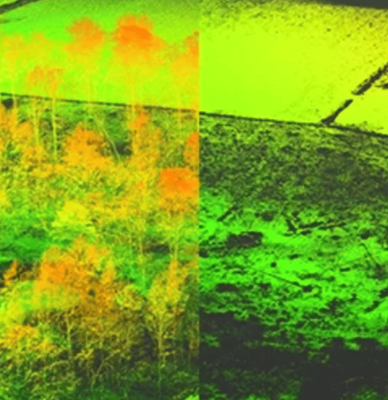
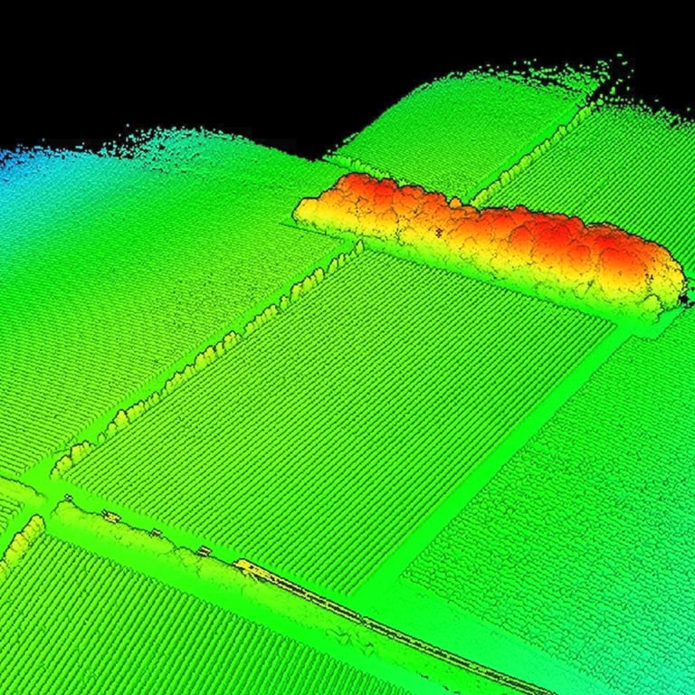
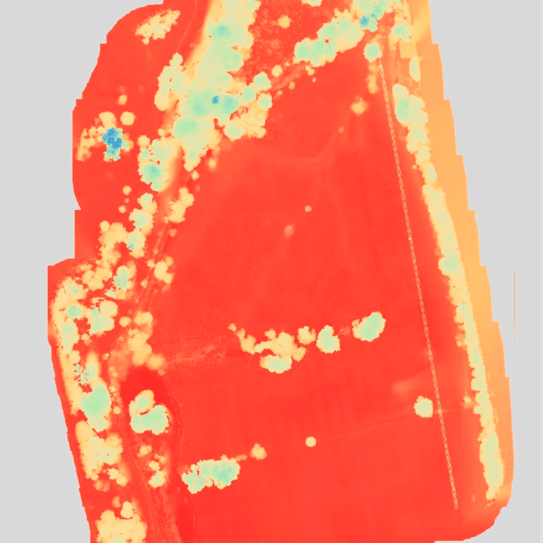
The pulses sent by the LiDAR module are excellent for penetrating vegetation, allowing highly detailed Digital Surface and Digital Terrain models to be built.
Digital Surface Model (DSM) vs Digital Terrain Model (DTM)
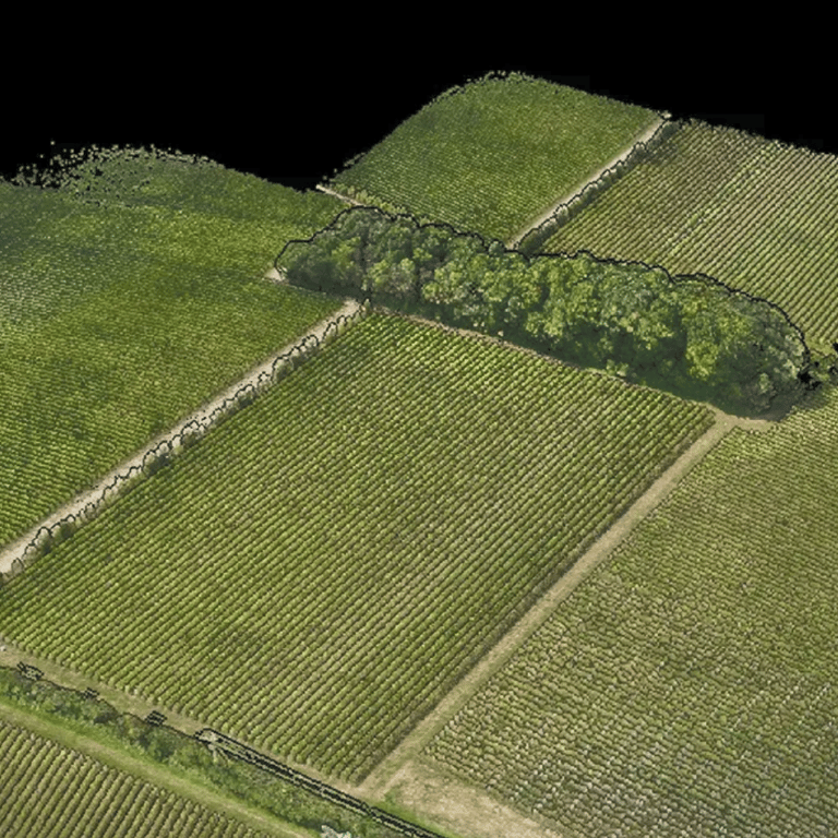
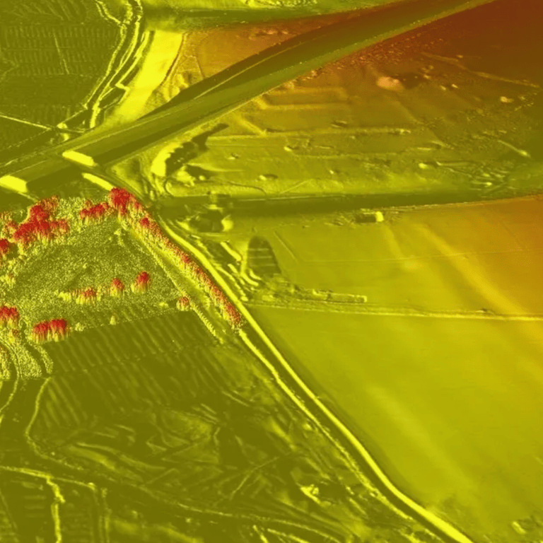
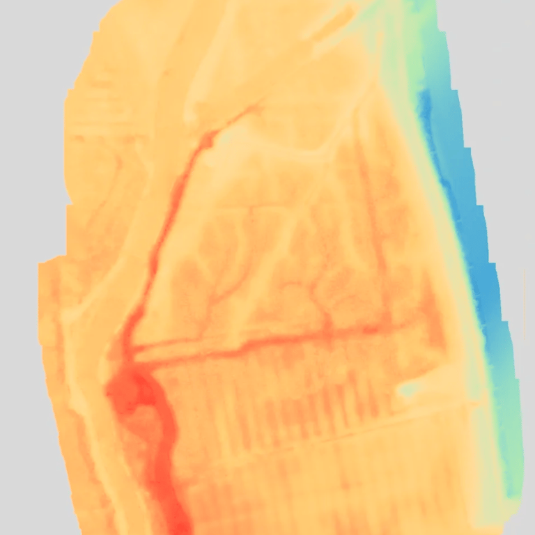
A DSM is a 3D representation of terrain and all the objects within that space; whilst in a DTM all the objects (for example trees, vegetation and buildings) have been removed so that only the ground surface remains.
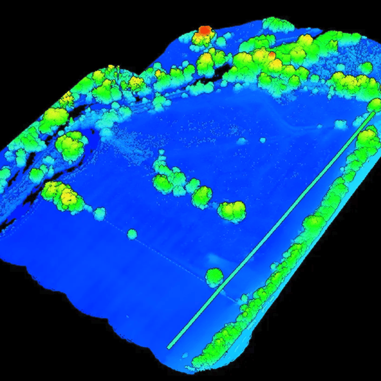
DTMs are particularly useful for environmental and forestry management applications, as UAV LiDAR visualizes both the foliage and the ground. The point cloud data is used to create models of the canopy structure, providing specific information such as tree volumes and tree height.
Used in an archaeological survey context, the vegetation can be 'stripped away' to visualise the ground below and thus help identify previously hidden features.
Collecting data
UAV mounted LiDAR surveys are a quicker and less costly alternative to manned aircraft, and certainly less time consuming than a manual alternative. A drone LiDAR survey can be completed in hours and deliverables provided within a day or so (depending on the project, of course!). Further, the resolution of the LiDAR returns will be significantly greater than from an aeroplane or satellite, as the drone obviously flies much lower and slower. This allows for exceptionally accurate modelling.
We collect data in ETRS89 and can convert to OSGB36 as required. We provide .las files, geoTIFFs and cloud-shared 3d modelling outputs.

Testimony from Wessex Rivers Trust
"As an organisation we're very used to a 'boots on the ground' approach when it comes to topographic surveys, so commissioning a LiDAR survey by drone was something new for me.
Chris from Low Altitude ensured that we got exactly what we needed, and that the data arrived in the formats we needed it in. Most importantly he explained it all in a way that I could understand.
We were very pleased with the service that Low Altitude provided and would happily use them again."
Neil Swift, Project Officer
Wessex Rivers Trust
What is the service?
Mission planning and permissions
RTK enabled survey flight(s)
Post processing to OSGB36 datum
.las files
DSM and DTM geoTIFF
Orthographic layer
Aerial photographs
Optional Photogrammetry model
How much does it cost?
How much does it cost?
As each survey has different requirements, we are pleased to offer bespoke quotations once we have a thorough understanding of the survey location and what you need to achieve. Most of the time is actually spent in pre-flight planning and then post-flight, processing the collected data! A typical survey would start at £1800.
We offer LiDAR drone surveys in Hampshire, Wiltshire, Dorset and West Sussex but are happy to discuss projects further afield.
Call us on 02382 146615 or drop us a line at hello@lowaltitude.co.uk
