Low Altitude Drone Surveys
Crop health drone surveys for Agriculture and Vineyards. LiDAR & archaeological mapping.
Accurate data, fast turnaround.
02382 146615 or hello@lowaltitude.co.uk
Our drone survey services
Our Surveys
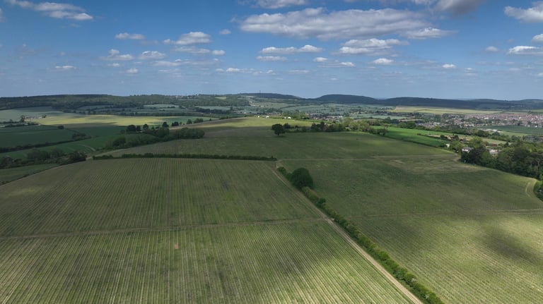
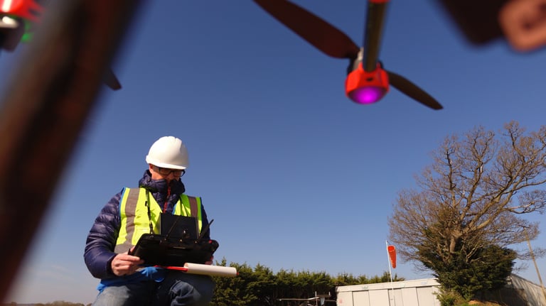
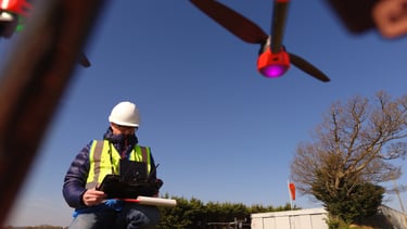
Low Altitude provides precise analytical drone surveys and mapping to the Agricultural and Viticultural sectors, conducted via UAV platforms mounted with advanced imaging sensors.
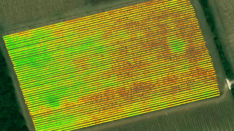
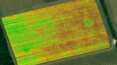
We operate state of the art multispectral cameras whose images, when processed, provide immediate and actionable intelligence on crop nitrogen deficiency, plant stress, irrigation and weed mapping.
Growers can protect their yield and improve it from 10% to 20%, whilst cutting costs.*
Multispectral sensors view light in bands invisible to us, which is perfect for measuring the reflected light from plants. That reflected light tells us the health of the plant, and can predict issues in the canopy up to 3 days before they become visible to the naked eye.
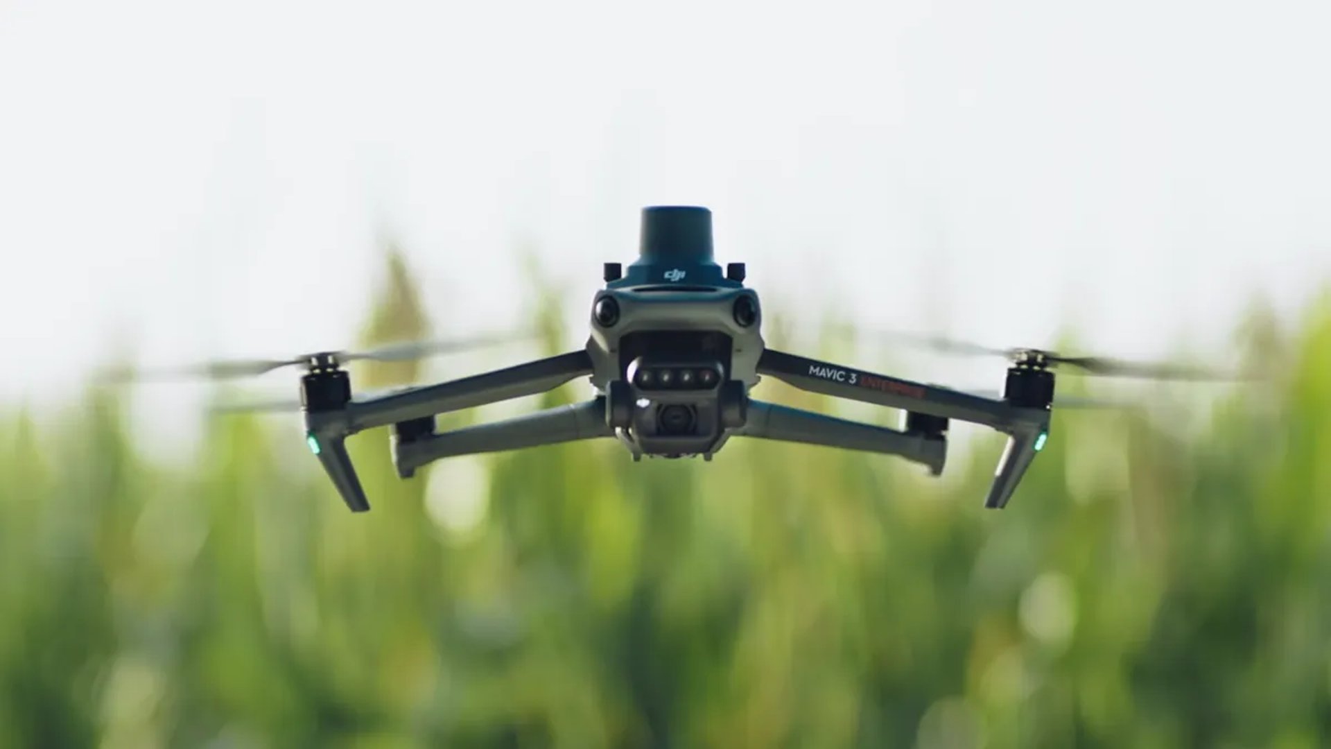
We use the RTK enabled M350 and Sentera 6X sensor for vineyard mapping and field surveys, with centimetre-level accuracy to ensure targeted applications are made with confidence.
Growers save time and money by reducing time spend field-scouting, monitoring nitrogen levels, crop issues and by using less fertiliser, herbicides, pesticides or water.
* Based on industry case examples where data has been used to optimise inputs and target management decisions
Other services
Alongside multispectral surveys, we can offer LiDAR surveys using the cutting-edge L2 mounted on our DJI Matrice 350 RTK drone.
We can provide video surveys so that agricultural buildings can be inspected, or field surveys for insured damage claims to crops of forestry. This includes measured and annotated reports detailing the damaged area.
We are also pleased to offer surveying services to Archaeology groups; multispectral analysis is a great way to discover features hidden in the landscape without the need for digging! LiDAR allows us to offer highly accurate a 3d models as well as DTM's and DSM's for desktop review, perfect for environmental projects.
Missions
Mission planning starts well in advance of the actual flight, with a desktop survey and flight maps created, location safety planning undertaken and any relevant flight permissions obtained. The flight itself is then conducted. If the location is particularly challenging a Flight Observer will accompany the pilot to ensure safe operation. Once the data has been processed post-flight, clients will be provided with clear, actionable intelligence on which to act.
We have Operational Authorisation from the CAA and our fully insured UAV Pilots hold both 'A2 CofC' and 'GVC' level qualifications, with many flight hours experience.
Naturally we hold £5m Public Liability insurance, which can be increased depending on individual project requirements.
We offer drone surveys in Hampshire, Dorset, Wiltshire and West Sussex.

Our Partners


Call us on 02382 146615
Email us at hello@lowaltitude.co.uk
Low Altitude Ltd
Hampshire Wiltshire Dorset Sussex
CAA Operator ID: GBR-OP-9VK7SHBYWQVW
Chief Pilot Flyer ID: GBR-RP-RMZFRWLH8QD7
CAA Operational Authorisation held
Copyright © 2026 Low Altitude - All Rights Reserved.